A week on the backroads
What we'd pack differently, and the one junction worth turning around for.
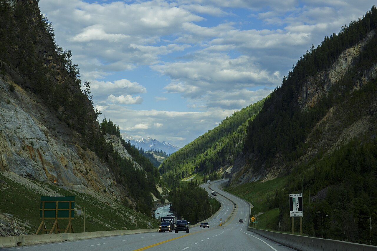
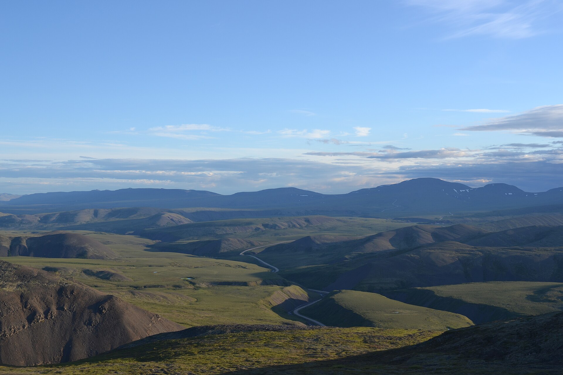
The road starts easy, which is the problem. Pavement for the first stretch lets you believe you are further ahead than you are, and the temptation is to push past the last town with a full tank and a vague plan. Don't. The gravel begins without ceremony and the surface changes character three times before lunch.
Where the road turns
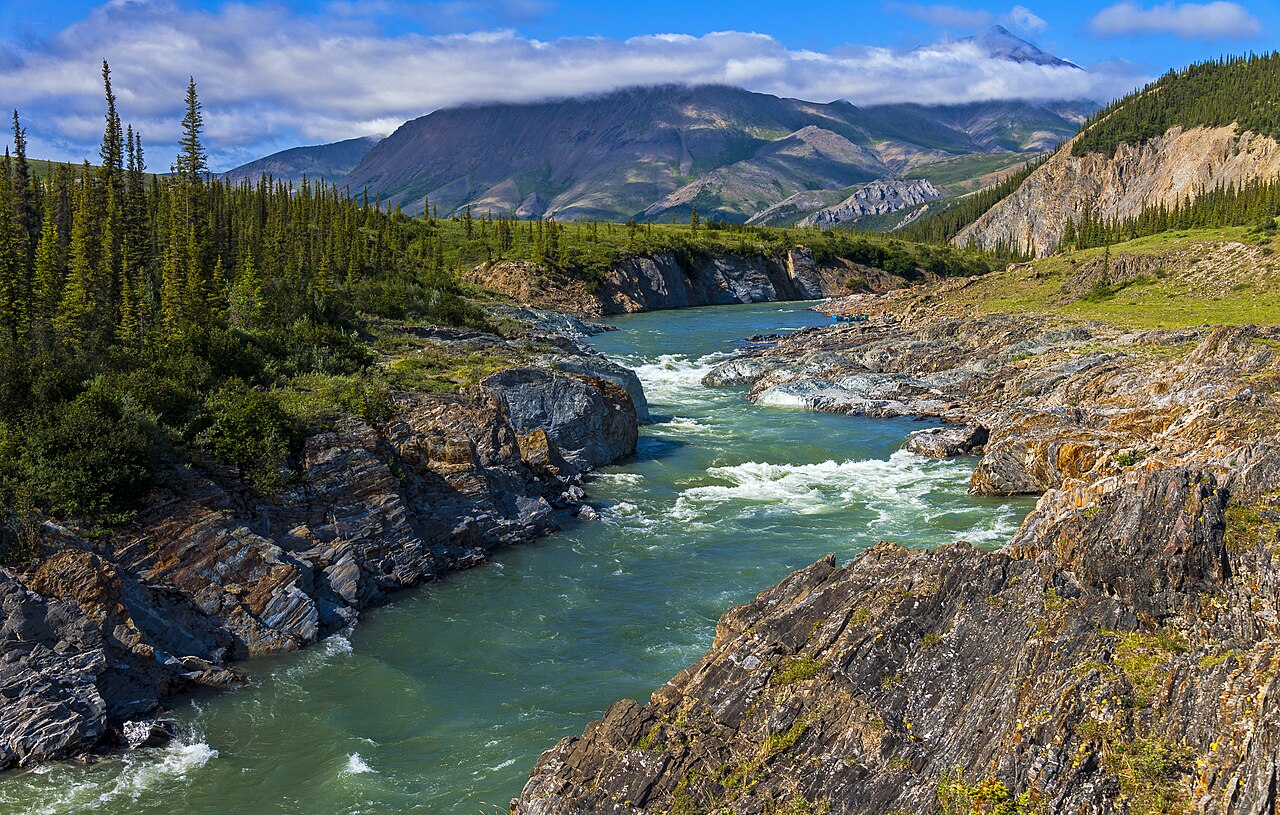
There is a junction partway in, unsigned in both directions, where the main line continues north and a spur drops toward the river. The spur is the better road and the worse decision. It is graded, quiet and genuinely beautiful, and it adds most of a day. We took it, and would take it again — but not on a schedule.
The gravel begins without ceremony and the surface changes character three times before lunch.
Washboard sets in after the second creek crossing. The received wisdom is to speed up until the corrugations smooth out. That works on a wide, dry road and nowhere else, and it is how people end up in the ditch on a blind crest. We aired down instead and lost twenty minutes an hour, which is a trade worth making.
What we'd pack differently
- One spare, properly mounted, checked before departure rather than after.
- More water than the plan requires — the creeks are silty for most of the season.
- A paper map. Coverage disappears well before the halfway point and does not come back.
- Less food. We carried days of surplus and ate almost none of it.
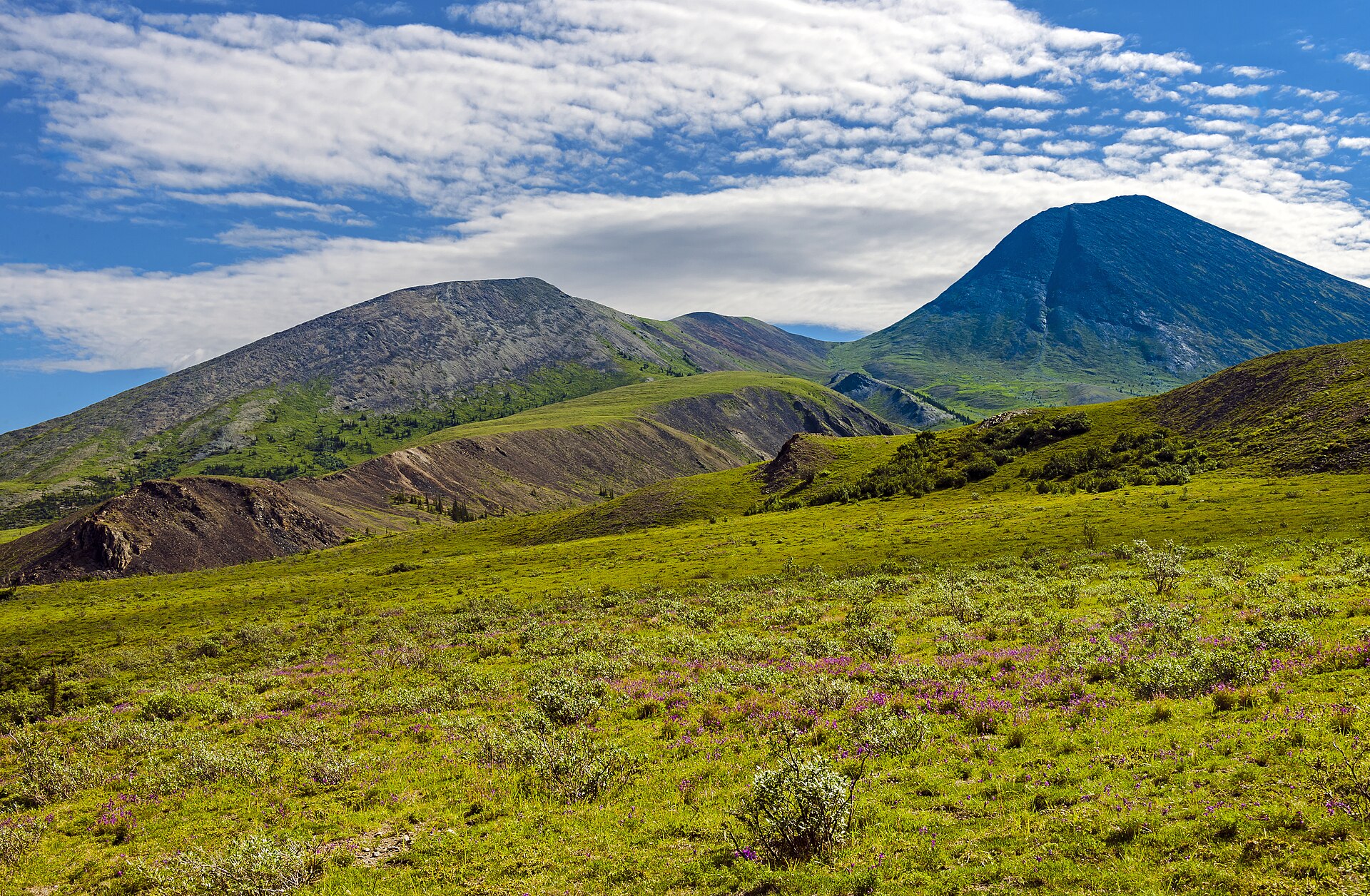
The last stretch is the easiest driving and the hardest to enjoy, because by then you are counting down. Give yourself an extra night somewhere along it. The country deserves better than a push to the end.