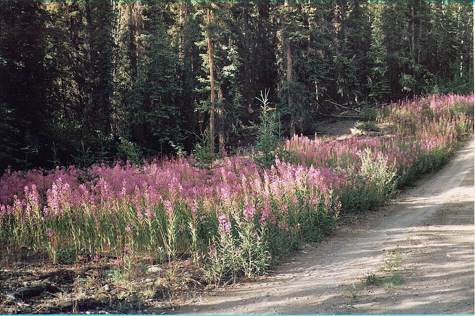
Coast Mountains
Logging roads, tidal timing and where the road actually ends.
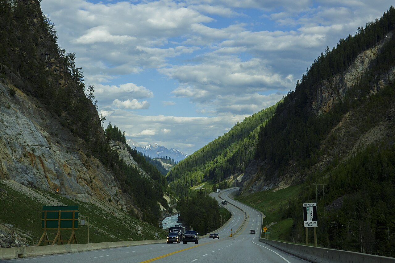
Much of the Coast Mountains is reached by resource roads built for logging trucks, not for travellers. The kit list follows from that. You are a guest on a working road, and the loaded truck coming the other way has the right of way.
Radio
Many BC resource roads are radio-assisted. Drivers call their kilometre and direction on the posted channel so that loaded trucks know where they are. The channel and calling procedure are signed where the road begins. You need a two-way radio programmed with the resource road channels, and you need to actually use it.
Our pick: ‹two-way radio› — tested ‹duration›.
Traction and recovery
Grades are steeper and surfaces looser than on any highway, and a wet clay surface can turn a gentle climb into a stuck vehicle. Carry the recovery kit you already know how to use.
- A pair of traction boards.
- A rated recovery point front and rear, not a tie-down loop.
- A shovel with a full-length handle.
Our pick: ‹traction boards› — tested ‹duration›.
Tidal timing
Where the road meets the sea — inlets, estuary campsites, beach access — the tide sets the schedule. Carry printed tide tables for the nearest reference station. Signal gives out well before the road does.
Rain
Coastal rain is a matter of how much, not whether. A large tarp you can pitch off the vehicle is worth more than any jacket, and anything that must stay dry needs a real dry bag, not a stuff sack.
Our pick: ‹tarp› — tested ‹duration›.
Where the road ends
Maps show roads that have since been deactivated, gated or washed out. Before you rely on a line on a map, check the road's current status with the forest district or the road's permit holder.
A line on a map is a claim about the past. Check it before you drive it.